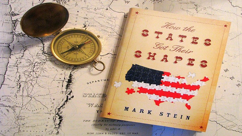
As an avid follower of History and Geography (my best categories on Trivial Pursuit), I really enjoyed "How the States Got Their Shapes" by Mark Stein.
The book begins with the history of American expansion from sea to shining sea, covering such events as the French and Indian War, Louisiana Purchase, and the Mexican Wars. A separate section is then devoted to each state boundary and any particular nuances that arose in the formation of the state border. The historical background is also provided. You find out that Michigan was given the Upper Peninsula to compensate for territory lost in a border dispute with Ohio. Wisconsin lacked the political clout to prevent it.
The discussion of the Illinois Northern border was most interesting. The Northern border of Illinois was originally established as being parallel of the Indiana border, which would have left Chicago and our office as part of Wisconsin. When applying for statehood, Illinois sought greater access to Lake Michigan as they foresaw the importance it would be to the economy of Illinois. Two other events converged at the same time; construction began on the Erie Canal which would connect New York City to the Great Lakes, and at the same time, Missouri sought admission as a slave state. Already anticipating the Civil War, Congress determined that moving the Illinois border North would establish a commercial connection between Illinois and New York, further contributing to the security of the Union. The result was the Illinois border was moved 60 miles to the North. All of this negotiation proved very relevant when the actual Civil War broke out 40 years later. Of course, Wisconsin once again got the short end of the stick.
I really enjoyed this book - you'll know why when Tennessee becomes Georgia.

